
Obstructions, such as trees and buildings, create a major challenge in modeling landscape visibility. In arid, rural regions with little tree cover, terrain only modeling makes a lot of sense and certainly simplifies the visual analysis process. Once in urban areas or areas with significant tree cover, it's a completely different game. In the image set above, the top image excludes trees; the bottom image includes trees that were surveyed, with estimated heights and widths. There's obviously a huge visibility - and quality of view - difference between the two.
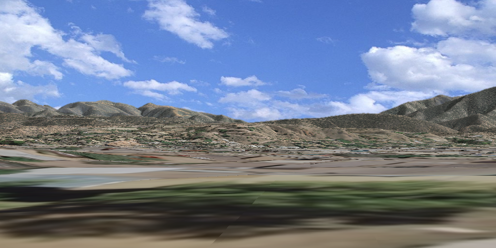
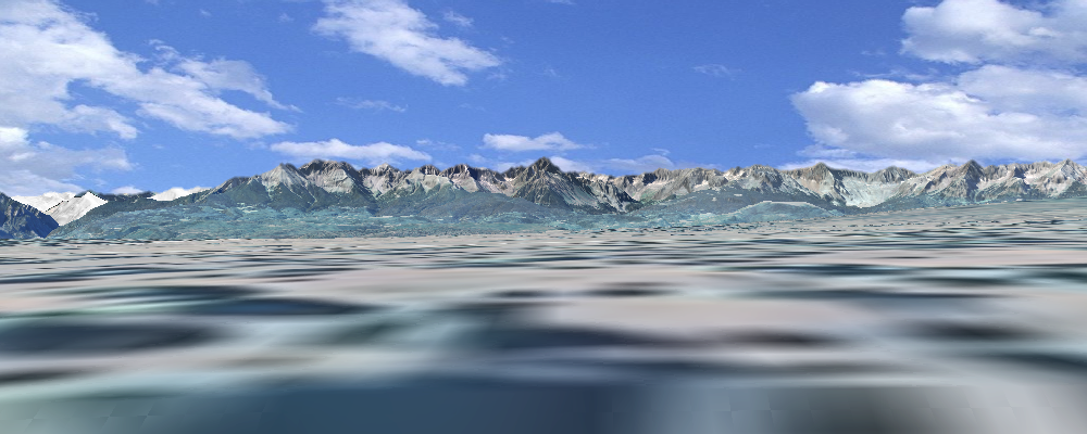
The images above - same point, the 1st doesn't include buildings, the 2nd does.
The image pair below show viewshed results for a forested area in Montana. We've left out trees in the top image and included them in the bottom...
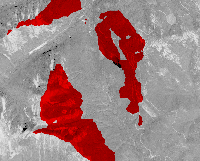
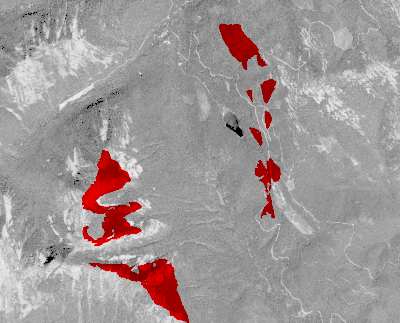
...big differences in the size of the viewshed. Building the obstruction grid creates another set of problems and will be discussed in a later post.


