Thursday, June 17. 2010
Staunton Master Plan
Fog at Staunton State Park
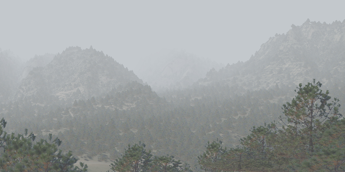
This image shows atmospheric attenuation and bitmapped trees (with random fluctuations in location, height and width.)
Santa Fe Sunrise
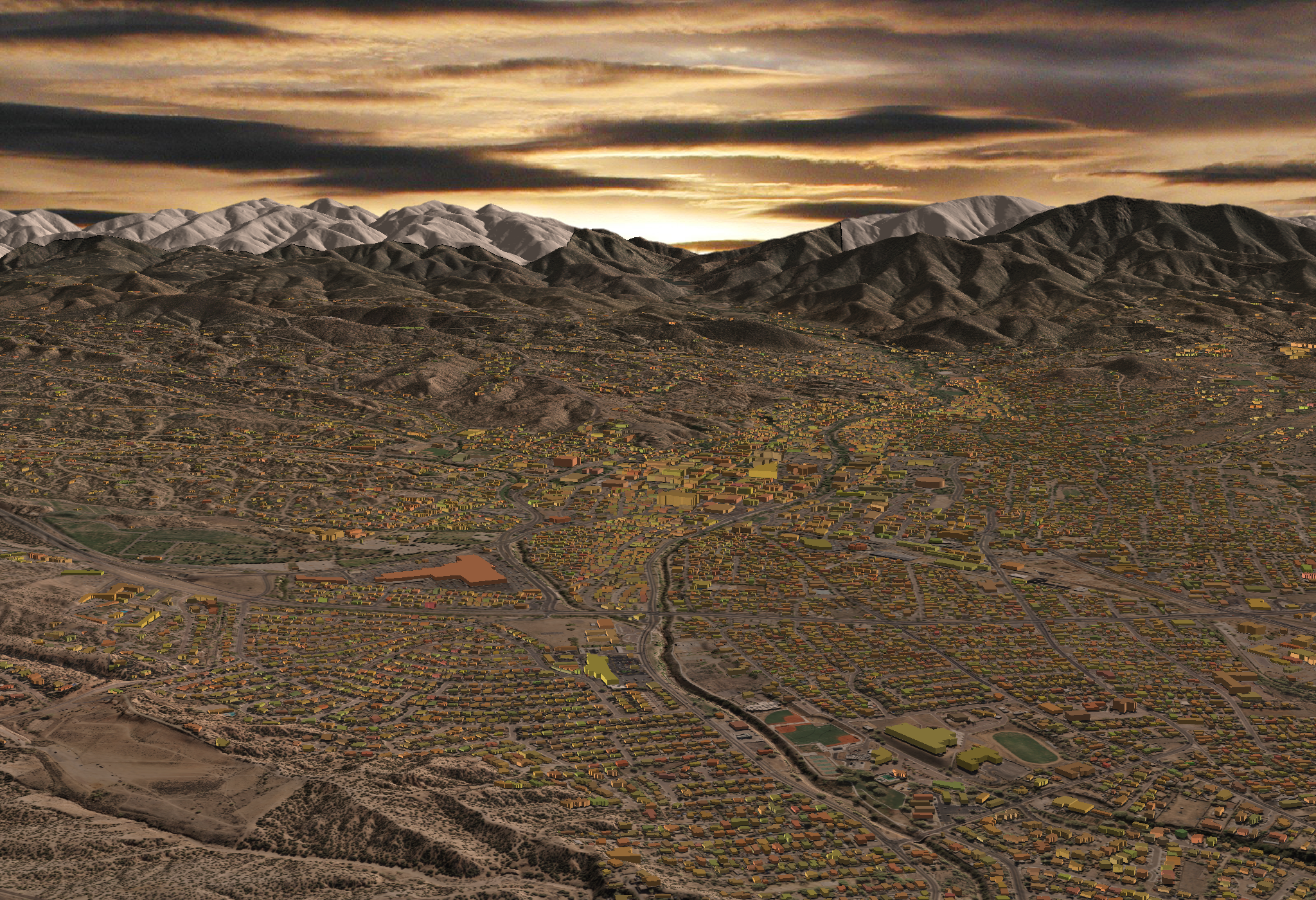
This "high over Santa Fe" image shows off a number of data layers from the City's GIS Department. The DEM was generated from LiDAR data; 6-in resolution orthophotos were used for the texture map; and digitized building footprints were extruded based on the building height field.Here's the full res image.


