I stumbled upon this image I created a couple of years ago from some LiDAR data. I was generating a DEM from the LiDAR points - and I guess I was bored. Instead of generating a "point cloud" image, I made a "sphere cloud" image where each (xyz) triple was a sphere center (I don't remember what I used as a radius.) Click on the image below to get the high res version.
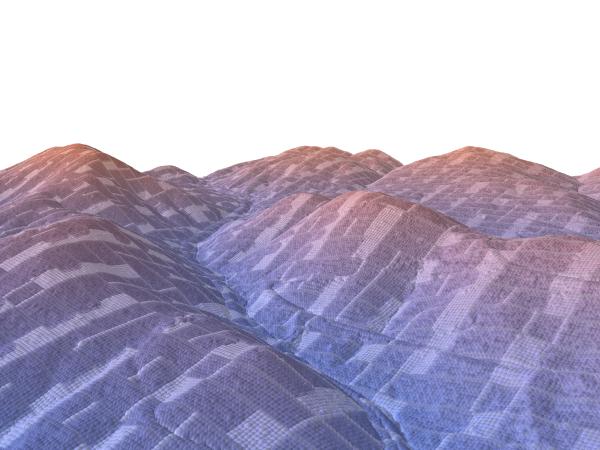
It looks like I also did some elevation-based color scheme: blue hues down low with red increasing with altitude. Gives it a cold feeling in the foreground valley and an alpenglow feel in the back. I think the weird color pattern is due to point density.


