The request was to produce a "Beaver Creek style ski area map", but after design and content issues were addressed the proposal, and ultimately the product produced, was a unique Zia styled 3D map using key surface modeling elements created by CTM. GIS info from the clients in-depth data collection of their property provided the exacting boundary and object locations to produce the map. Ed and Heidi of CTM worked closely with me to formulate a series of overlays of imagery and GIS that defined the extent of the map.
Several technical and artistic techniques were used to develop the look and feel of this map. Some key aspects is the use of graphic object development that is then placed using GIS image processing techniques from CTM's suite of program calls in 'Edware' . This allows for graphic representations of vegitation (trees in this case) based on field data that we then transposed from image analysis to graphic representations. This allows for accurate distribution and placement of our created 2 1/2D objects on a texture mapped 3D surface. This is all meant to create and render the 'feeling' of what the landscape looks like. It is a balanced orchestration of art and technology.
Thanks to CTM for their efforts on this project!

40X40" Poster Map
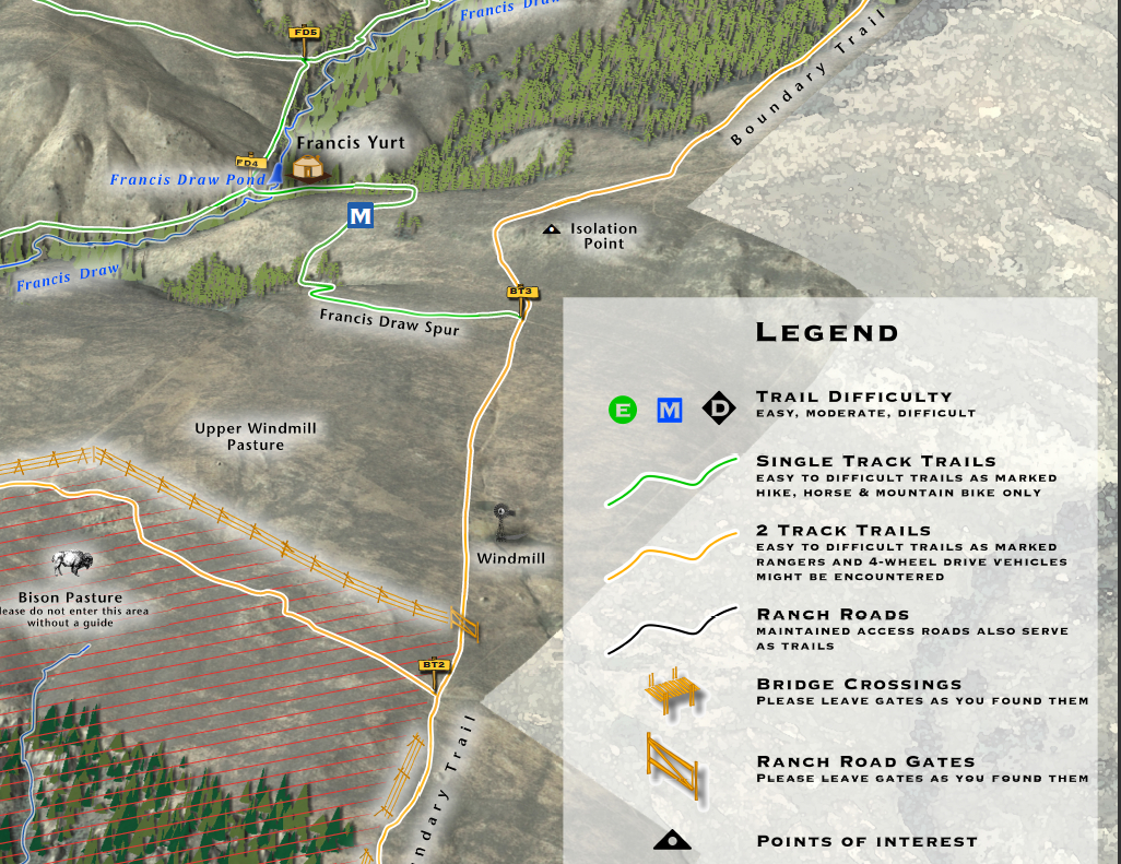
Detail#1
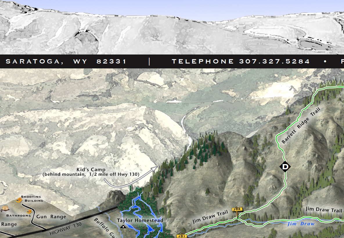
Detail #2
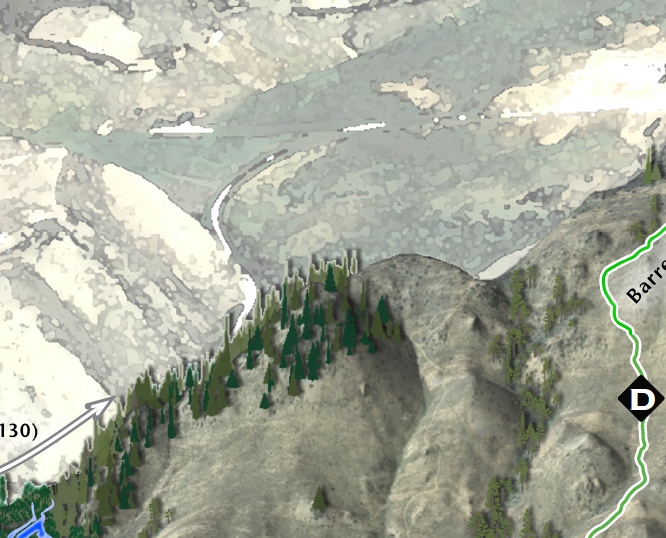
Detail #3
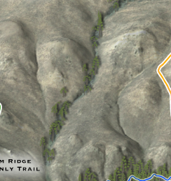
Detail #4


