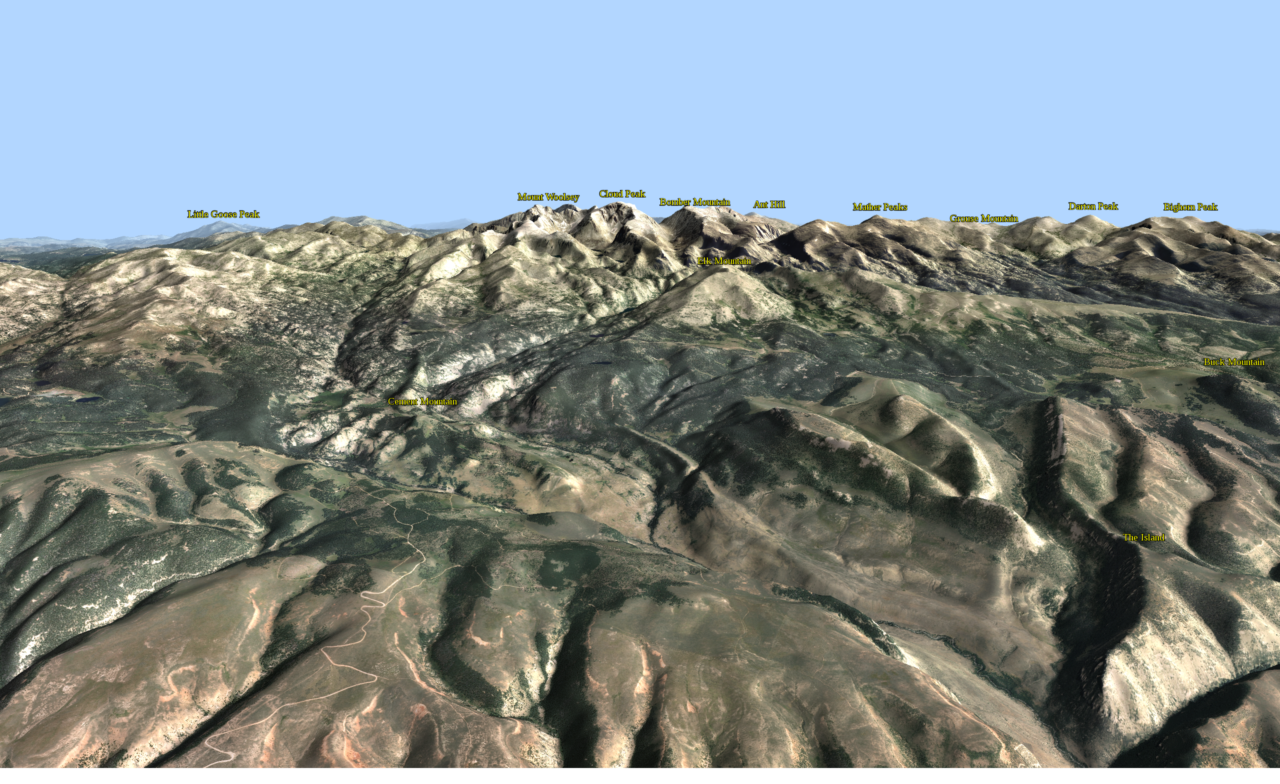
(Click for high res version)
You'll need to click through to read the text. Summits are labeled with coordinates from the USGS GNIS database, briefly described in this post.
This higher perspective helps to separate the peaks and gives a good feel for the rugged topography in the range:
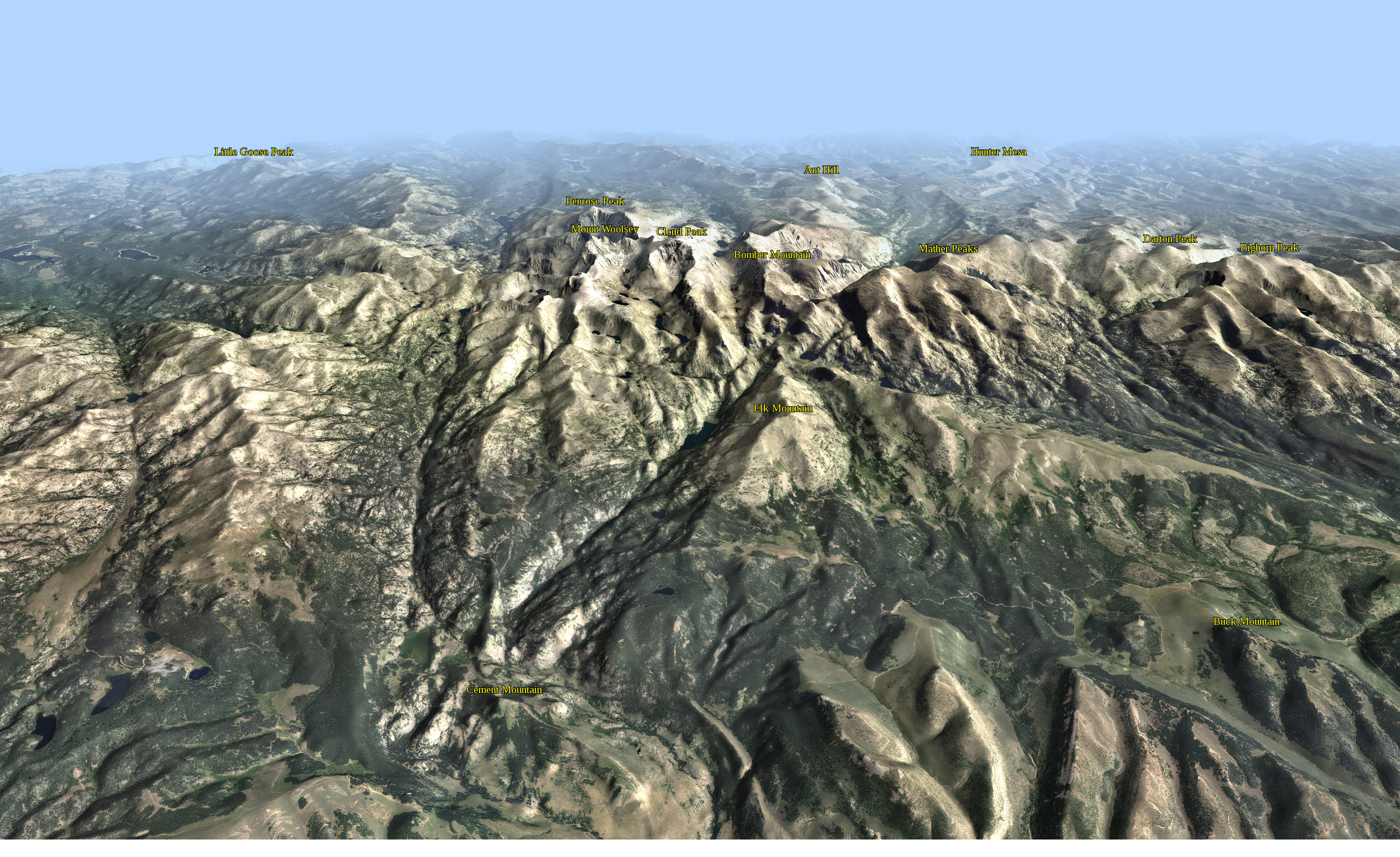
(Click for high res version)
Low sun from the south helps to highlight the E-W trending ridgelines in the foreground. Clear air keeps things crisp up to the summit crest; attenuation gracefully subdues the background.


