Take, for instance, this (no attenuation) image with Keystone ski area in the foreground and the Tenmile Range in the background (click for high res version).
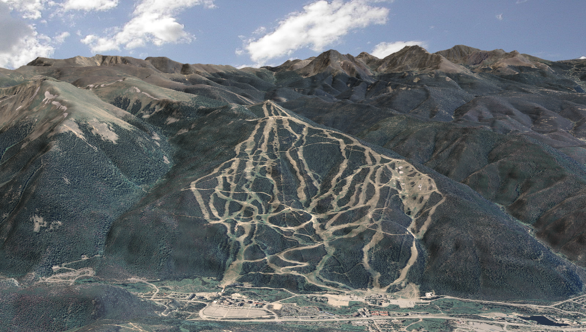
I really like the crispness of the background mountains, but the ridgelines to the right (West) of the ski area don't "pop" as well as I'd like.
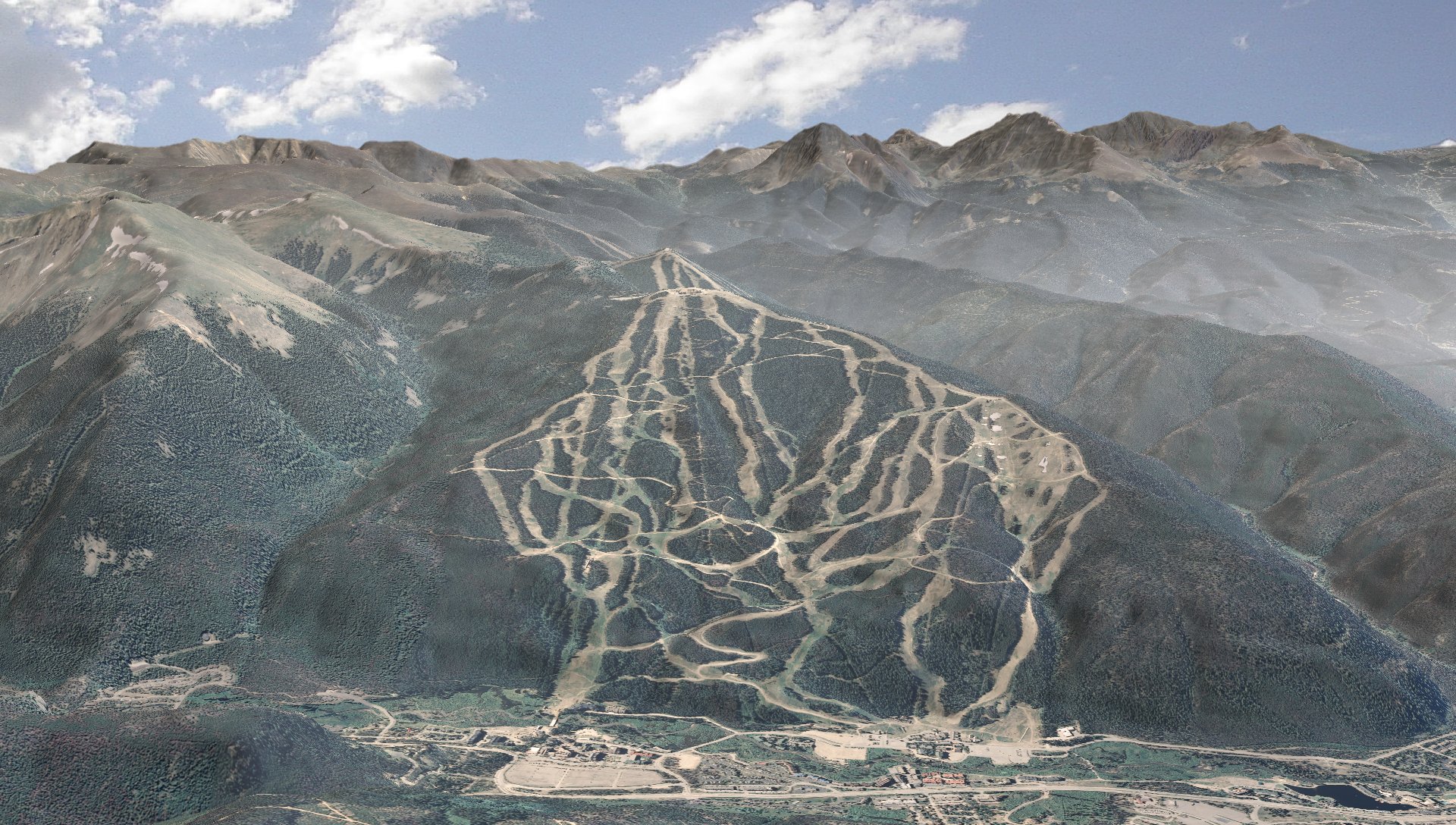
So, let's try distance-based attenuation (click for high res version):

There's better ridgeline definition, but the background peaks get washed out by the attenuation.
So, what if we "cleared the air" at higher elevations, still keeping the distance-based attenuation? I then got this result (click for high res version):
I still get good ridgeline definition, but much greater clarity in the high peaks!


Seems there are two parts to the answer. Given a smoke model (some smoke "field" where attenuation w = f(x,y,z)) the program would render a (fairly) realistic image of the resulting scene.
I could come up with some simplistic model based on factors like fire location, prevailing winds, etc - but I'm no expert in this area. So, while it might look OK, it wouldn't be a valid smoke propagation model.
Cheers!