Here's an airplane height view of the well named Top of the Rockies Scenic and Historic Byway.
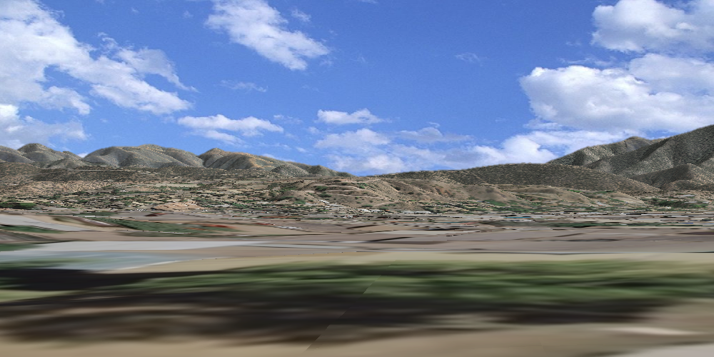
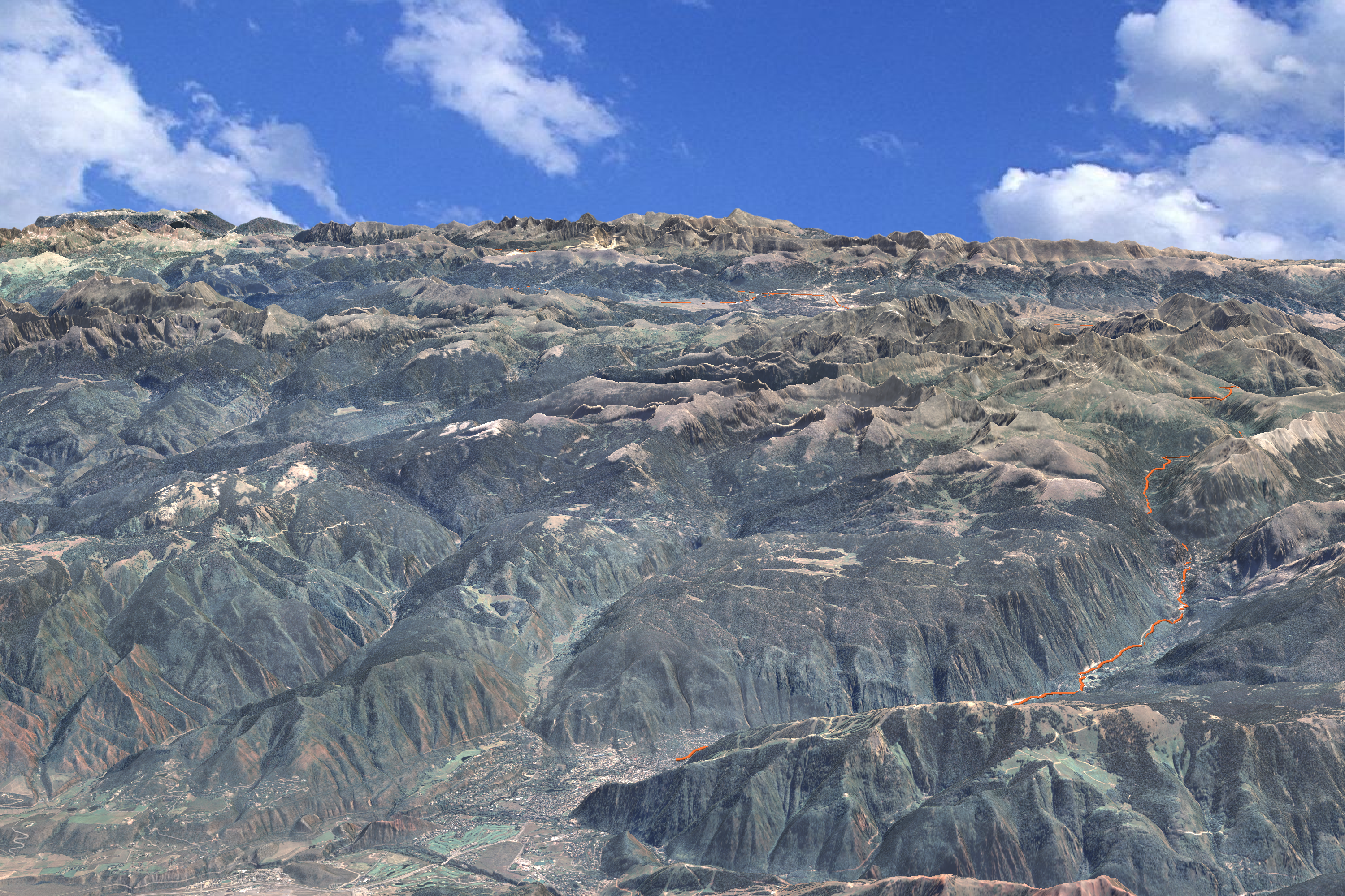
From Aspen (in the bottom center of the image) the route follows Highway 82 along the upper Roaring Fork to Independence Pass, then down Lake Creek past Twin Lakes to US 24 and the Arkansas River Valley. From there it goes N along US 24 to Leadville at 10,152 ft elevation. The Byway splits into 2 branches at Leadville: one goes NW along US 24 to Minturn; the other follows Highway 91 NE to Copper Mountain.
Be sure to visit before Independence Pass closes for the winter - usually in late October or November.
Friday, August 20. 2010
Silverton to Engineer Pass
This route follows the Animas River NE from Silverton all the way to the top of Engineer Pass:
I did this route 5 or 6 years ago - truly beautiful country! Summer's almost gone folks - better get out there!
Thanks to Spike Productions for the video production work.
I did this route 5 or 6 years ago - truly beautiful country! Summer's almost gone folks - better get out there!
Thanks to Spike Productions for the video production work.
Wednesday, August 11. 2010
Change Parameters - Change Seasons
Most rendering programs (including mine) use "tile pyramids" or sets of image tiles sampled at different levels of detail. This technique allows you to retain high resolution close up with less detail in the background. Altering the appearance of the texture map becomes a nightmare, however, with thousands of tiles at different resolutions. Consequently, I've tried to build some control into the rendering program so that the appearance can be changed at run time.
The image above shows a view of Longs Peak (left) and Mount Meeker (right) using NAIP imagery acquired in the summer season. By adjusting multipliers on the color bands along with the color of the incident "sun" light, I produced this corresponding "winter" scene:
It's not perfect, but it's still pretty compelling.
Monday, July 26. 2010
Colorado's 14ers
Sunshine Peak (14,000 ft - shown below) barely makes the list of fifty-some mountains in Colorado that exceed 14,000 feet in elevation - the "14ers." (See the Longs Peak animation below for another 14er.)
According to the U.S. Forest Service, nearly half a million people visit Colorado's 14ers. Recreation associated with these peaks makes an important economic contribution to a number of mountain towns.
Here are a few other renderings:
Redcloud Peak
Handies Peak
Uncompahgre Peak
Wetterhorn Peak
According to the U.S. Forest Service, nearly half a million people visit Colorado's 14ers. Recreation associated with these peaks makes an important economic contribution to a number of mountain towns.
Here are a few other renderings:
Redcloud Peak
Handies Peak
Uncompahgre Peak
Wetterhorn Peak
Friday, July 16. 2010
Animated Guidebooks
While I'm on the subject of the Alpine Loop, I've been thinking that an animated guidebook - or tour of the area roads and trails - would be sweet. Here's the first route: Corkscrew Pass.
I really like the look and feel of this fly-through and I'm excited to finish up a couple more and get them on the Alpine Loop site. It would be fun to add narration and photos or video footage as well. Maybe in the future...
UPDATE: Here are a couple more:
Lake City to Engineer Pass
Ouray to Cinnamon Pass
Wednesday, July 14. 2010
Alpine Loop
We've been resurrecting material from a project that we did for the BLM 5 or 6 years ago.
The video's 25 minutes, so relax and enjoy.
We've come a long way in film and animation quality, but I think the movie is effective in getting the message across.
The video's 25 minutes, so relax and enjoy.
We've come a long way in film and animation quality, but I think the movie is effective in getting the message across.
Friday, July 9. 2010
Lines on the Landscape
Planning in a rural landscape is a completely different ballgame than an urban setting. Look at the chaotic pattern of these patented mining claims along the Alpine Loop Back Country Byway. When miners found a mineral vein or lode, they laid a predictable lot size (typically 300' x 1500' or 600' x 1500') over an unpredictable landscape. This video shows the results.
Although we did this several years ago, I think it's still a compelling piece. I really like the effect of bringing the claims up as we fly along. There's more on this beautiful area of the state at http://www.alpineloop.com.
Friday, July 2. 2010
Obstruction Grids
Obstructions, such as trees and buildings, create a major challenge in modeling landscape visibility. In arid, rural regions with little tree cover, terrain only modeling makes a lot of sense and certainly simplifies the visual analysis process. Once in urban areas or areas with significant tree cover, it's a completely different game. In the image set above, the top image excludes trees; the bottom image includes trees that were surveyed, with estimated heights and widths. There's obviously a huge visibility - and quality of view - difference between the two.
The images above - same point, the 1st doesn't include buildings, the 2nd does.
The image pair below show viewshed results for a forested area in Montana. We've left out trees in the top image and included them in the bottom...
...big differences in the size of the viewshed. Building the obstruction grid creates another set of problems and will be discussed in a later post.
Thursday, June 24. 2010
Visualizing Development Impacts
We've been integrating the analytical and visualization environments in a web mapping application for the City of Santa Fe, oriented toward visual resource protection. We're working with the City to re-map their "Escarpment District" - a ridgeline and hillside protection zone. Our web mapping / GIS app provides a recipe to objectively and subjectively assess new construction impacts within the City and surrounding growth area.
First, we choose a location on the landscape on which to site a structure. Next, we determine those (predetermined) observation points - in parks and along roadways - where the structure will break the skyline. The blue lines in the map below show sight lines to the structure.
We can then choose any of the sight lines to generate a 3d rendering similar to the one at the top of this entry - all done in a server-side application with no plug-ins.
Tuesday, June 22. 2010
Fly The Plan!
We're so used to seeing plans in 2d, it's fun to see them come alive in 3d. Here's the fly-through segment (of the Preliminary Master Plan) from the Staunton "Solving the Master Planning Puzzle" video.
Friday, June 18. 2010
Longs Peak animation
Here's an animation of the Keyhole Route on Longs Peak (CO). We used 10m DEMs and 1m NAIP for the texture map.
Here's the direct link at vimeo:
http://www.vimeo.com/12306850
Panoramas
Thursday, June 17. 2010
Staunton Master Plan
Solving the Staunton State Park Master Planning Puzzle - a video we produced as part of the Master Planning process for the Park.
Fog at Staunton State Park
Santa Fe Sunrise
This "high over Santa Fe" image shows off a number of data layers from the City's GIS Department. The DEM was generated from LiDAR data; 6-in resolution orthophotos were used for the texture map; and digitized building footprints were extruded based on the building height field.Here's the full res image.
« previous page
(Page 4 of 4, totaling 60 entries)