We were involved in a ridgeline protection project back in 1998 for the Town of Castle Rock, Colorado. This project was an early application of our skyline mapping algorithm, which delineates areas of the landscape where structures would break the skyline. Here's a link to the ordinance that was approved at the end of the project; and here's the final map with legend.
The image below shows a birds eye view of the skyline map.
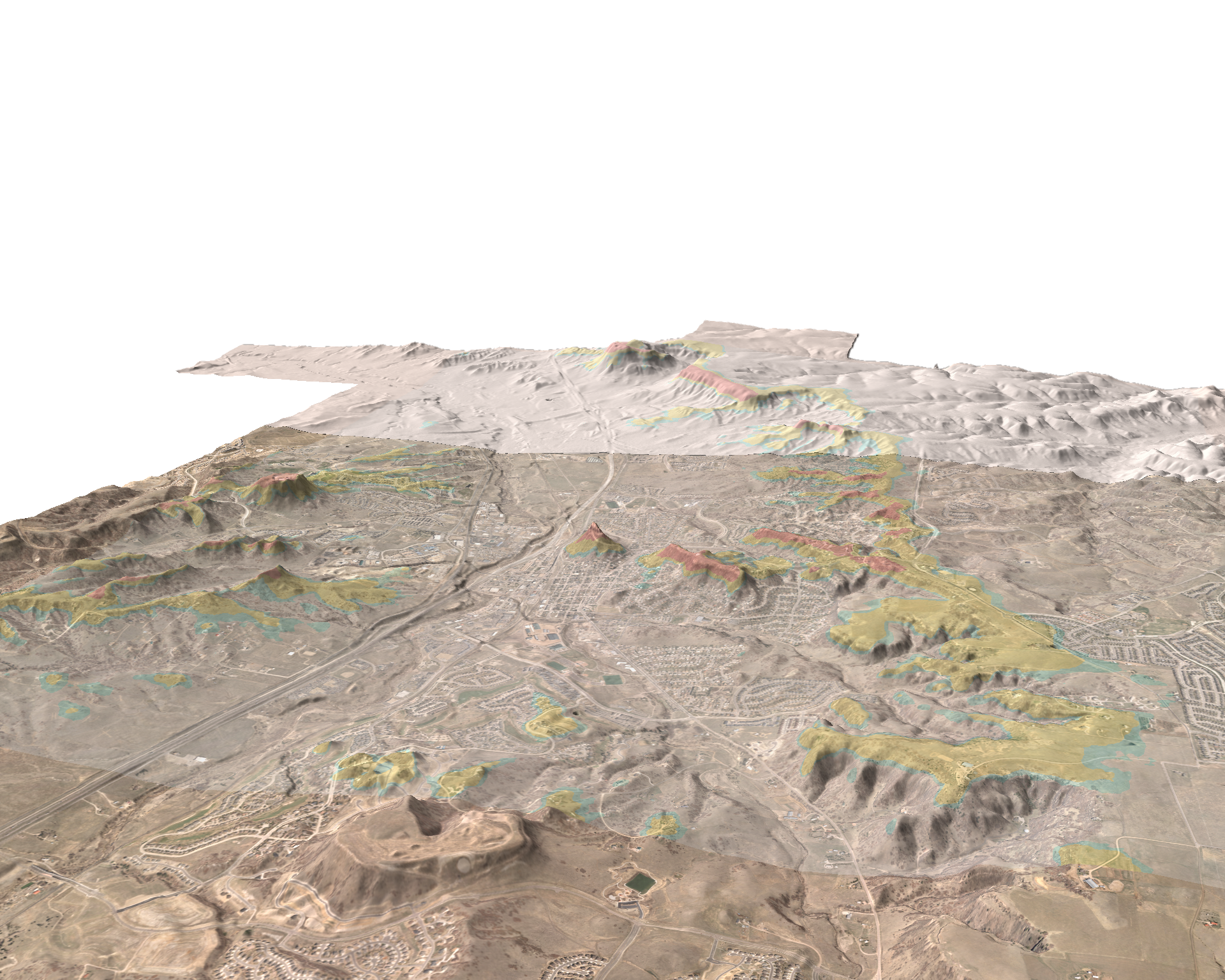
We've gotten a chance to revisit this work with a new project in the area. It's been very rewarding to find that - with the new tools available 12 years later - that the original mapping is holding up very well. I may be biased, but I think the Town has one of the most defensible ridgeline protection zones around.
Wednesday, November 3. 2010
Castle Rock Skylines
Trackbacks
Trackback specific URI for this entry
No Trackbacks