Recently, I've played around with producing imagery for use with the major commercial web mapping APIs - Google, Bing, Yahoo - to dramatically improve the appearance of web-served maps and provide options for branding web maps to stand out from the overcrowded masses.
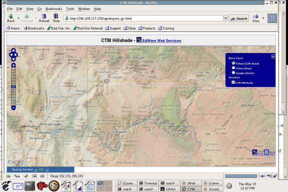
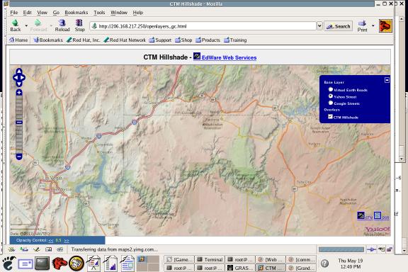
Here are some samples, centered on the Grand Canyon:
Bing
Yahoo
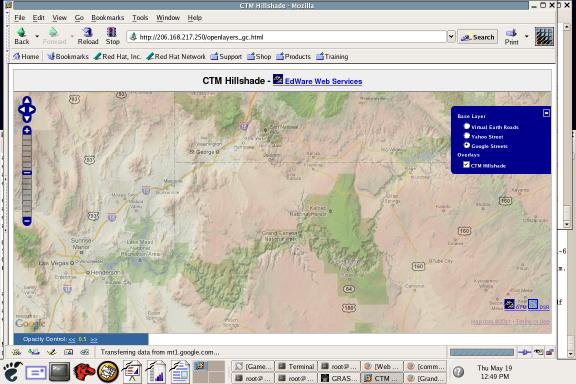
Here's a link to an interactive site deployed via openlayers:
http://206.168.217.250/openlayers_gc.html
There's a simple opacity control at the bottom left. Turn the hillshade off and on to see the difference.
Also, here's a link to try it out in Google Earth:
http://192.231.196.243/gc_tiles/gc.kml
Let me know what you think!


