Here's an example with the traditional lighting (click for high res version):

Directional light sources are typically implemented as a vector, indicating the direction to the "sun" or light source. Alternatively, you can use point light sources, located at specific locations. Direction vectors are then calculated from each locale on the landscape to the point source.
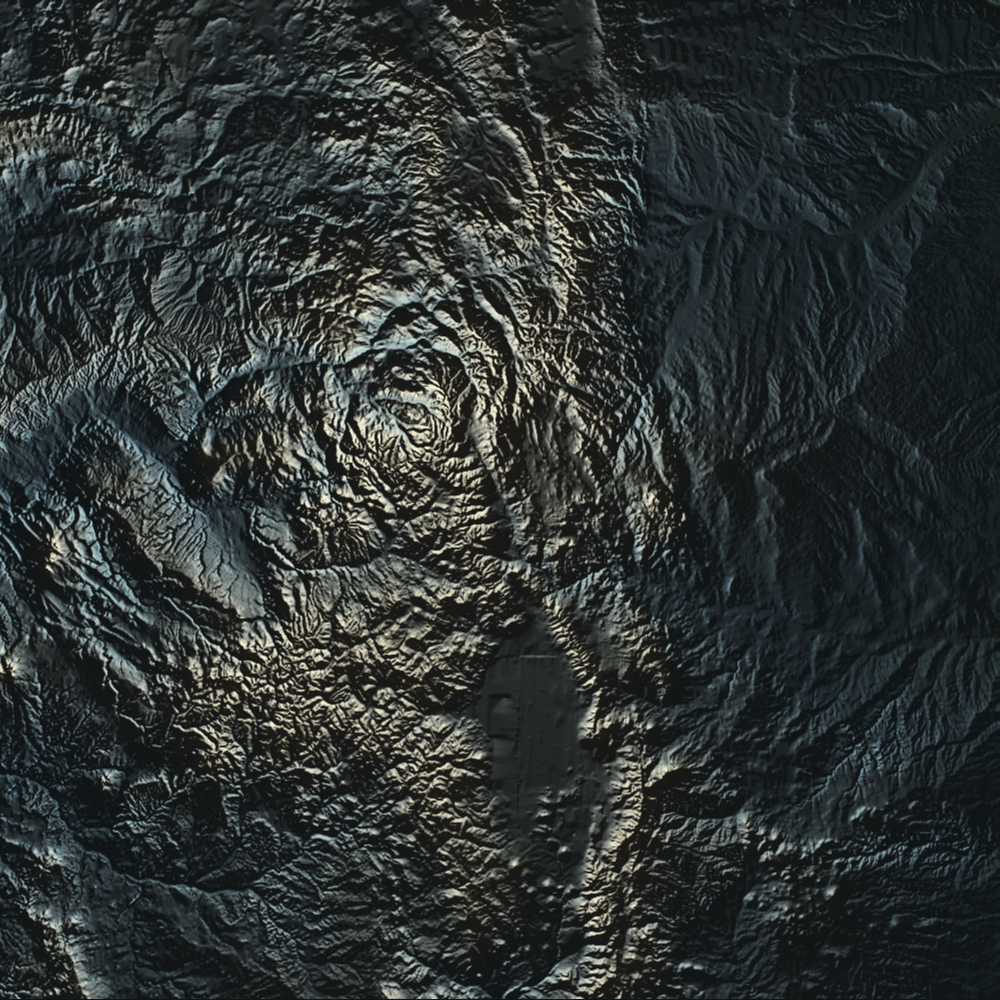
Here's an example of the same area illuminated by a point light source located just above and left of the image center (click for high res version):
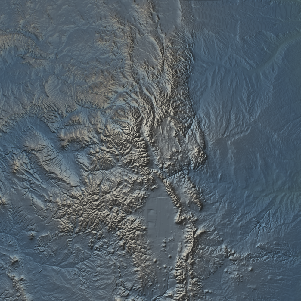
Mixing the light sources from the above examples produces this image (click for high res version):
...and here's one more where I've added a red-hued directional light source from the East (click for high res version):
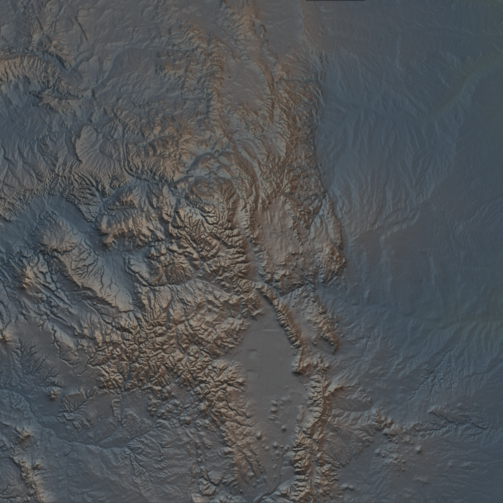
Mixing light sources can help accentuate landscape features that aren't easily brought out with a single source. This feature is coming soon to the elevation server.


